Geographic Information System (GIS) Services
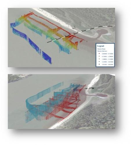
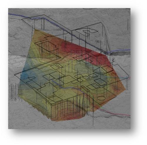
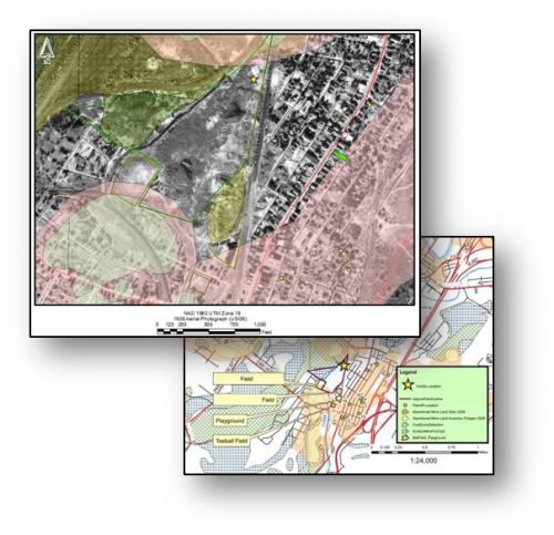
Environmental projects have strong spatial and geographic components. Almost all of our projects utilize GIS in some way. We have found that it is a powerful tool that we use for research, to analyze data, and to communicate information to a wide variety of end users. It is our experience that no two projects are alike. AquAeTer’s GIS Team efficiently creates custom GIS solutions for each and every client. Our clients value our ability to create a GIS that is flexible and can change with the project as it evolves. We work closely with our clients to understand the story they want to tell and develop custom deliverables that help them achieve their goals. Whether the end products are simple data tables or complex maps, geo-databases and diagrams, AquAeTer’s GIS department will handle the job.
Case Studies


